 ES
LA PERAL – VILLAR DE VILDAS ROUTE
La Peral – Villar de Vildas route (PR.AS - 14)
Route type: Linear
Distance: 13 km
Duration: 5h 15min
Elevation gain: 400 m
Difficulty: Moderate
Route map and elevation profile
- Total ascent374 m
- Total descent875 m
- Highest point1,726 m
- Lowest point851 m
Elevation profile
Use two fingers to move the map
Track based on OpenStreetMap (© its contributors, ODbL licence); elevation from the Copernicus EU-DEM model. For guidance only: always follow the waymarks.
The La Peral – Villar de Vildas route (PR.AS-14) is a 13 km crossing to the Pigüeña valley. It leaves La Peral, climbs through meadows to the Malladas spring and the Enfistiella pass and descends past the Los Cuartos braña and the Braña de La Pornacal to Villar de Vildas. It is linear, with 400 m of ascent and 5 h 15 min of walking.
Split times
Times from La Peral, according to the official trail sheet:
| Point | Time |
|---|---|
| Las Malladas spring | 1 h 35 min |
| Collado de Enfistiella | 2 h 20 min |
| Braña los Cuartos | 3 h 30 min |
| La Pornacal | 4 h 20 min |
| Villar de Vildas | 5 h 15 min |
Route description
The village of La Peral can be reached from the capital of Somiedo, La Pola, or from León over the Puerto de Somiedo. The route leaves this summer vaqueiro village on a track that climbs gently westwards between meadows to the Las Malladas spring.
From here you can see, on the left, Peña Penouta, the Trabanco valley and the Picu’l Cornón; on the right, Pico el Mocosu; and to the east the village of La Peral, the road up to the Puerto de Somiedo, the Braña de Mumián and, in the background, Peña Gúa.
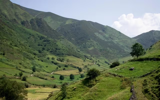
Through meadows, the path reaches its highest point and enters the broom scrub that, at this height, covers the slopes not used for livestock. A common plant in this scrub is gentian, which in Somiedo has the peculiarity of bearing orange flowers. At the highest point, a clearing in the broom reveals the Borrones spring and a small seasonal pond. Both are left on the right as the path heads for the Collado de Enfistiella, where the view opens onto an unrivalled panorama of the Valle de los Cereizales and the upper Pigüeña.
Again across slopes dotted with gorse and broom, the path descends towards the Pigüeña valley. The first metres run along the left side of the gully, switching to the right after a short way and coming out at the Braña los Cuartos. From here, along the track that heads north, across the meadows of La Requexada and after visiting the famous braña of La Pornacal, you reach the village of Villar de Vildas, the end of the route. The last stretch stands out for the magnificent beech woods that cover the shady side of the Pigüeña valley.
Notes: the route is too long to walk in both directions. It is therefore recommended to leave your vehicle in Villar de Vildas and hire other transport to the starting point in La Peral.
This is one of the most beautiful routes in the Somiedo Park. Walked in the early hours of the day, it lets you see chamois grazing at some points and avoid the hottest hours, as there is hardly any shade along the way.
Download the route map (PDF, in Spanish)