ES
The best routes in Somiedo
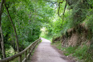
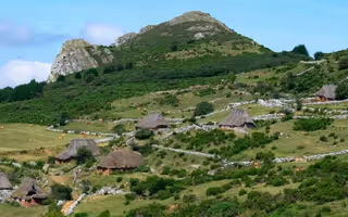
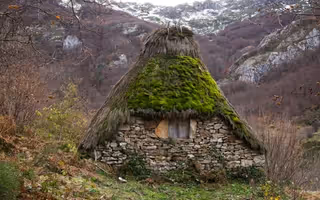
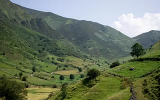
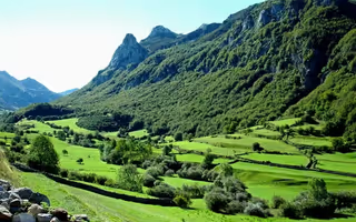
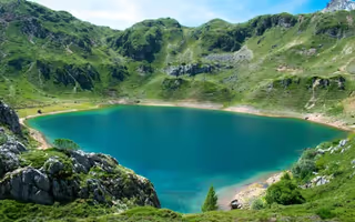
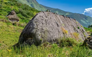
Somiedo Natural Park has 13 waymarked hiking trails (PR.AS and GR) spread across its four valleys: from the 2 km Accessible Path to the 20.5 km Camín Real de la Mesa route. They climb to the Saliencia lakes and to Lago del Valle, pass thatched teito hamlets such as Mumián, Sousas and La Pornacal, and cross the forests where the brown bear lives.
Each page gives the distance, the time, the ascent and a step-by-step description. If this is your first visit, find them on the park map first; and if you are coming in the snow, see the winter routes.
How to choose a route
- The shortest: Accessible Path (2 km), Braña de Sousas route (3 km) and Castro route (4 km).
- To see the lakes: Somiedo Lakes route (14 km, 4h 30min) and Lago del Valle route (6 km, 2h 30min). More in the lakes of Somiedo.
- To see thatched brañas: Braña de Mumián route, Braña de Sousas route and Valle de Pigüeña route. All of them in the brañas of Somiedo.
- With children: the Accessible Path and Lago de la Cueva, 20 minutes from the car. More ideas in Somiedo with children.
- The longest: Camín Real de la Mesa route (20.5 km, 7h) and Somiedo Lakes route (14 km, 4h 30min).
The 13 routes at a glance
| Route | Code | Distance | Time | Ascent |
|---|---|---|---|---|
| Accessible Path | — | 2 km | 1h | 30 m |
| Braña de Sousas route | PR.AS-16.1 | 3 km | 1h 30min | 300 m |
| Castro route | PR.AS-13 | 4 km | 1h 30min | 75 m |
| Lago del Valle route | PR.AS-15.1 | 6 km | 2h 30min | 300 m |
| Valle de Pigüeña route | PR.AS-14.1 | 6 km | 2h 15min | 500 m |
| Braña de Mumián route | PR.AS-11 | 6.5 km | 2h 15min | 170 m |
| El Cornón route | PR.AS-10 | 7 km | 4h 30min | 700 m |
| Brañas de Saliencia route | PR.AS-12 | 8 km | 3h 15min | 350 m |
| Real Camín de la Mesa – La Bustariega route | GR-100 | 9 km | 3h | 150 m |
| El Puerto – Valle del Lago route | PR.AS-16 | 9.5 km | 4h 30min | 200 m |
| La Peral – Villar de Vildas route | PR.AS-14 | 13 km | 5h 15min | 400 m |
| Somiedo Lakes route | PR.AS-15 | 14 km | 4h 30min | 400 m |
| Camín Real de la Mesa route | GR-101 | 20.5 km | 7h | 400 m |