 ES
CAMÍN REAL DE LA MESA ROUTE
Camín Real de la Mesa route (GR - 101)
Route type: Linear
Distance: 20.5 km
Duration: 7h
Elevation gain: 400 m
Difficulty: Moderate
Route map and elevation profile
- Total ascent724 m
- Total descent701 m
- Highest point1,784 m
- Lowest point1,339 m
Elevation profile
Use two fingers to move the map
Track based on OpenStreetMap (© its contributors, ODbL licence); elevation from the Copernicus EU-DEM model. For guidance only: always follow the waymarks.
The Camín Real de la Mesa was a Roman road and later the main route between Asturias and Castile. This route, the GR-101, covers in 20.5 km the stretch from the Alto de San Lorenzo, on the boundary between Teverga and Somiedo, to Torrestío, already in León, past the brañas of La Corra and La Mesa and the La Magdalena pass. It is linear and takes about 7 hours. From the same pass the other waymarked stretch heads north-west, the Real Camín de la Mesa to La Bustariega (GR-100, 9 km).
Split times
Times from the road, at the Alto de San Lorenzo, according to the official trail sheet:
| Point | Time |
|---|---|
| Piedraxueves | 40 min |
| Braña la Corra | 1 h 40 min |
| Peña Negra | 3 h |
| Collado la Magdalena | 4 h |
| Braña la Mesa | 5 h 12 min |
| León border | 5 h 42 min |
| Torrestío | 7 h |
Route description
The Alto de San Lorenzo lies on the boundary between the municipalities of Teverga and Somiedo. After leaving the car at the pass, beside the road, take the track, an old Roman road, that heads south. In its first stretches the path runs through meadows and, after a slight climb, crosses a wood of beech and holly to reach the broad meadows of Piedraxueves, where large numbers of grazing livestock are usually found.
The path continues in the same direction, across the slope, leaving the Campas del Ríu on the left, to reach the Collado del Xuego la Bola, at the foot of Peña el Michu, which stays on the right. On this col stands a stone marker built on the pattern of the old milestones of Roman roads. A short distance away is the Braña la Corra, whose teito cabins are in good condition, as is the very old corro that seems to have given the place its name. Half a kilometre further on, the track crosses a stretch paved with large slabs, the only remains of the old Roman road.
In this area there is also a spring, beside the path among crags above the upper edge of the Arbeyales meadows. A stop to drink can be an excuse to spend a few minutes taking in the splendid view from this col over the Saliencia valley and the many brañas that dot the landscape, as well as over the woods on the shady slope and the rest of the municipality of Somiedo.
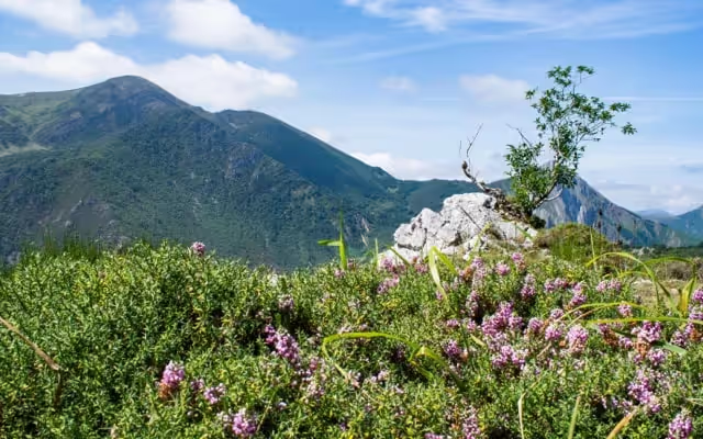
The path alternates gentle ups and downs as far as the Collado la Magdalena, which commands an exceptional view of the brañas and also a wide view of the municipality of Teverga. If you walk quietly and at the right time of day, it is easy to see red deer grazing.
From the Collado la Magdalena the broad path continues to the Braña la Mesa, where you can see the typical buildings roofed with broom, teitos, alongside those roofed with stone slabs, llábanas, which are the most numerous in this braña. From here you can descend through the impressive Foz de los Arroxos gorge to Saliencia or carry on to Torrestío, leaving Somiedo and Asturias to enter the Leonese municipality of San Emiliano.
Download the route map (PDF, in Spanish)