 ES
CASTRO ROUTE
Castro route (PR.AS - 13)
Route type: Linear
Distance: 4 km
Duration: 1h 30min
Elevation gain: 75 m
Difficulty: Moderate
Route map and elevation profile
- Total ascent175 m
- Total descent284 m
- Highest point803 m
- Lowest point576 m
Elevation profile
Use two fingers to move the map
Track based on OpenStreetMap (© its contributors, ODbL licence); elevation from the Copernicus EU-DEM model. For guidance only: always follow the waymarks.
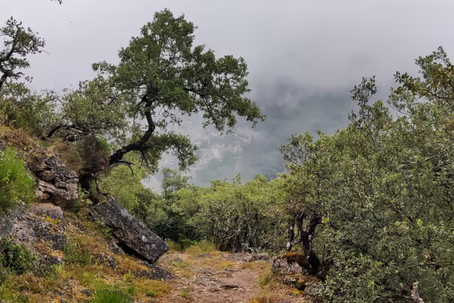
The Castro route (PR.AS-13) follows the old royal road to La Pola from the La Malva recreational area, beside the AS-227 road, to the village of Castro. It is 4 km one way, with 75 m of ascent and 1 h 30 min through holm oak woods, with views of the entrance to the Somiedo valley.
Split times
Times from the La Malva recreational area, according to the official trail sheet:
| Point | Time |
|---|---|
| Spring | 25 min |
| Campizos | 55 min |
| Castro | 1 h 20 min |
| Road | 1 h 30 min |
Route description
The route starts at the La Malva recreational area, beside the AS-227 road, halfway between Castro and Pola de Somiedo, with a fine view of the entrance to the Somiedo valley.
About a hundred metres from the car park, towards La Pola, a path leaves the right-hand side of the road. It is the old royal road of La Pola, which climbs north over limestone, close against the rock, and passes above the road tunnels. The first stretch crosses scrub and pasture dominated by gorse, common broom and heather. This vegetation soon gives way to holm oak woods, a relict vegetation that is living evidence of eras with less rainfall. Growing on sunny slopes and shallow soils, this kind of woodland alternates for almost the whole route with deciduous woods of ash, maple, lime and hazel in the gullies, where the soil is deeper.
Hanging from rocky crags, the path keeps climbing gently towards the Cueva de la Malva. Before reaching it, a sign announces the end of the Área Forestal de la Malva. It is worth spending a few minutes walking among its trees and reading the information panels that identify and describe them. Back on the route, you can stop at the shady rock wall of the Cueva de la Malva to drink from the spring at its foot and look across to the Sierra de la Llampaza and the peaks of Gurugú and Cueva de Moros on the opposite slope, and the woods that cover them. In these damp, shady spots you can see butterwort (Pinguicula), a carnivorous plant whose sticky basal leaves trap small insects to supplement its diet. Below the path, beside the river, are the La Malva reservoir and the hydroelectric power station of the same name, a very beautiful building from the early twentieth century.
The path continues among holm oaks, and at times Portuguese oaks, up to the highest point of the route, where the meadows of the Braña de Campizos suddenly come into view. From there the path descends through a very different landscape, between grazing and hay meadows that give way, on reaching Castro, to fruit trees, with plenty of walnut and fig trees. You can return the same way or along the road.
Download the route map (PDF, in Spanish)


