 ES
ACCESSIBLE PATH
Accessible Path
Route type: Out and back
Distance: 2 km
Duration: 1h
Elevation gain: 30 m
Difficulty: Moderate
Route map and elevation profile
- Total ascent18 m
- Total descent14 m
- Highest point704 m
- Lowest point682 m
Elevation profile (one way)
Use two fingers to move the map
Track based on OpenStreetMap (© its contributors, ODbL licence); elevation from the Copernicus EU-DEM model. For guidance only: always follow the waymarks.
The walk starts in Pola de Somiedo, over a wooden bridge across the river Sousas. This first, tarmacked section of the path runs parallel to the road that climbs to Valle del Lago.
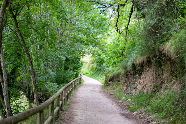
At Hotel Flórez Estrada, the former palace where the Enlightenment thinker Álvaro Flórez-Estrada was born and lived, the tarmac ends and the path becomes a dirt track.
Along the way there are information panels, also written in braille, about the wildlife and plants of the area.
The route runs through woods of beech, oak, ash, lime and Portuguese oak, and there are rest areas with picnic tables and benches all along it.
The path ends at the Mirador de río Aguino, a viewpoint with magnificent views of the valley of the river Somiedo.
You can carry on from there, although this stretch is no longer accessible, to a second viewpoint, the Mirador del Desfiladero de la Malva, where it is not hard to see griffon vultures overhead.
The way back is along the same path.


